The Historic Environment Record (HER) at 50
The Buckinghamshire HER and Milton Keynes HER are both 50 years old this year. Initiated by Michael Farley in 1972, using a format and methodology developed by the Oxfordshire HER (the first HER in the UK, initiated in 1965), with evening classes and other local volunteers researching and collating information from existing sources and identifying sites on the ground.
A dedicated HER Officer was appointed in 1976 and the record was computerised in 1985. Covering the whole of the administrative county of Buckinghamshire including Slough and Milton Keynes, the HER was separated into two discrete HERs after Milton Keynes District Council became a unitary authority in 1997.
The first records were on index cards (see photo), with sites mapped on paper 1:10,000 OS ‘quarter sheets’ and used punched optical coincidence cards as the index search (or query) mechanism. Once the records were computerised from 1985 onwards, it was possible to run queries directly on the database, although this meant phoning in a request to the corporate mainframe housed in the council offices in Aylesbury and collecting the results several days later!
Later software packages allowed the HER database to be run and queried locally on a standalone pc, but much information was recorded as coded fields, meaning the HER Officer had to manually annotate the printouts produced for search requests. In 2000 the HER database was moved to new specialist HER software linked to computerised (GIS) mapping, with coded fields appearing as plain text and much more powerful querying capabilities and a range of search report formats. At the same time the service moved to offices in the centre of Aylesbury and acquired internet and email access, allowing HER search results to be provided digitally.

A Heritage Lottery Fund public outreach project from 2003 to grant-funded the development of an online version of the HER, known as ‘Unlocking Buckinghamshire’s Past’ and now ‘Buckinghamshire’s Heritage Portal’. In May 2009 Unlocking Buckinghamshire’s Past came second in a national poll of the best online HERs in Britain. The HER is also available online through Historic England’s Heritage Gateway.
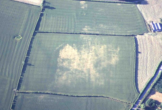
An HER Assistant was appointed in November 2015 and the post is now permanent and full-time. Paul has developed the mapping coverage including geophysical surveys and LiDAR datasets, and is also responsible for the HER’s social media presence. The HER is at the forefront of many national initiatives and continues to develop. An Aerial Investigation and Mapping project funded by Historic England is currently underway in the north of the county, with specialist consultants Skylarkeology recording archaeological sites from aerial photographs (including the HER’s collection) and LiDAR data, which will be an important source of new information for planning.

The HER is a rich and dynamic information resource used to inform the Heritage and Archaeology Team’s planning advice but is also an important education and recreation tool. The team give public talks and produce displays for local events such as the Festival of Archaeology, Heritage Open Days, and Buckinghamshire Archaeological Society conferences. Teachers and academics use the records for schoolwork and research; local community groups and societies use the HER for their own activities such as neighbourhood plans, heritage projects and guided walks, as do residents interested in the history of their local area. Farmers and landowners in Buckinghamshire also benefit directly from the HER information and specialist management advice we provide through the Countryside Stewardship scheme and the HER is central to the ongoing project to create an inclusive Local Heritage List for Buckinghamshire.
The Buckinghamshire HER has come a long way in the 50 years since its beginnings...whatever will it look like at 100!